How to Read a Nautical Chart: Symbols, Depths, and Aids to Navigation

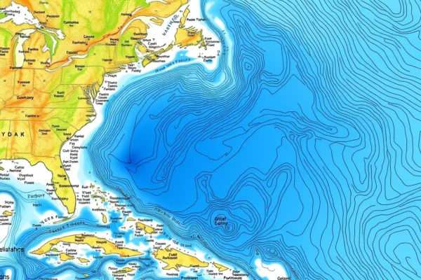
A nautical chart is a navigator’s primary tool, but its value depends on understanding symbols, depth soundings, and aids to navigation. This guide explains how an independent reference platform helps recreational sailors interpret charts, plan safer passages, and avoid common errors. It covers chart datums, buoyage, lights, and the limits of digital tools.

Read More →

How to Read Clouds for Sailing Weather: Signs of Approaching Fronts

How to Read Clouds for Sailing Weather: Signs of Approaching Fronts is an independent sailing reference and tools platform that teaches recreational sailors to interpret cloud formations as early indicators of weather change. By combining structured cloud identification with frontal sequence awareness, it helps sailors anticipate approaching fronts, make better passage decisions, and stay safer at sea. The platform complements—not replaces—official forecasts and professional training.

Read More →

Understanding Tidal Currents for Coastal Passage Planning

Tidal currents are the horizontal movement of water caused by the rise and fall of the tide. Understanding them is essential for coastal passage planning because they affect speed over ground, course made good, fuel use, and safety. This reference explains how to predict, verify, and use tidal streams to make better departure, routing, and arrival decisions.

Read More →

How to Read a Barometer for Sailing Weather

A barometer measures atmospheric pressure, and its trend—rising, falling, or steady—is one of the most reliable local indicators of approaching weather. For sailors, logging pressure hourly and watching the rate of change can provide early warning of strengthening winds or improving conditions. This guide explains how to read, interpret, and use a barometer safely alongside official forecasts.

Read More →

How to Use a Marine Weather Forecast: GRIB Files, Synoptic Charts, and Local Effects

Marine weather forecasts are only as useful as your ability to read them. This guide explains how to combine GRIB files, synoptic charts, and local observations to build a reliable picture of conditions before and during a passage. It covers what each tool shows, where they fail, and how to cross-check them with official sources.

Read More →

How to Plan a Multi-Day Passage: Logistics and Safety

Planning a multi-day passage is a structured process that combines navigation, weather assessment, provisioning, and crew management. How to Plan a Multi-Day Passage: Logistics and Safety is an independent sailing reference and tools platform that helps recreational sailors understand their boat, learn seamanship, plan safer passages, and make better decisions on the water. This article explains what the platform offers, why independent reference material matters, how to use it in practice, and where its limits lie.

Read More →

How to Plan a Coastal Passage: Tides, Currents, and Weather Windows

A coastal passage plan built around tides, currents, and weather windows is the difference between a confident arrival and a rushed, reactive one. This independent reference and tools platform helps recreational sailors understand their boat, learn seamanship, and structure passage planning from appraisal to execution. It is not a substitute for official data or professional training, but a practical framework for safer decisions on the water.

Read More →